History
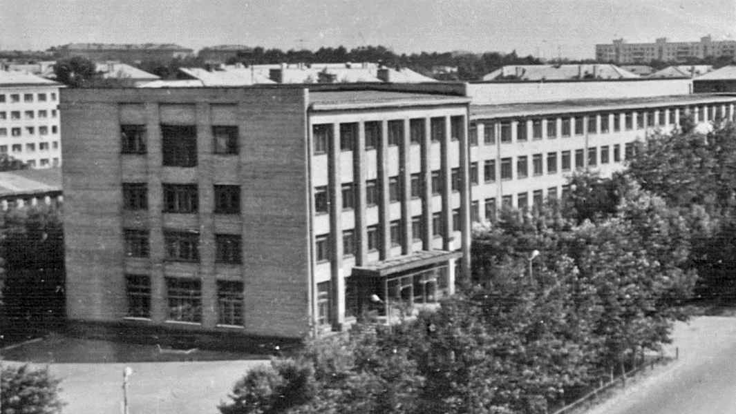
In 1931, the Main Geodetic Directorate (GGU) of the Supreme Council of the National Economy of the USSR decided to organize a geodetic institute in Western Siberia. That same year, this decision was supported by the Presidium of the West Siberian Regional Executive Committee, and Omsk was chosen as the location for the university. At a meeting of the Secretariat of the West Siberian Regional Committee on July 20, 1932, V. S. Pankov was approved as the director of the institute. In August 1932, the newspaper Sovetskaya Sibir published announcements about recruiting first-year students. In the fall, student admission was completed, and in November they began their studies. By Resolution No. 330 of the Council of People's Commissars of the USSR dated February 28, 1933, a network of higher educational institutions in the country was approved, including the Siberian Astronomical and Geodetic Institute (SAGI). Thus, in 1933 the institute received official status, and from that time on it became customary to keep its chronicle.
In 1934, due to the lack of material resources and faculty, SAGI was reorganized and became part of the Siberian Construction Institute as the Astronomy and Geodesy Faculty. In 1937, the first graduation in the astronomy and geodesy and cartographic specialties took place in Novosibirsk – only 40 people. The faculty’s situation was difficult, it did not correspond to the main profile of the construction institute, and the question of its closure was raised more than once. However, the country was in dire need of geodetic personnel, so the Main Directorate of Geodesy and Cartography (GUGK) provided comprehensive assistance to the faculty, and the ground was prepared for the organization of an independent geodetic institute in Novosibirsk.
By order of the Council of People's Commissars of the USSR dated April 28, 1939, No. UD-105-16, the Novosibirsk Institute of Engineers of Geodesy, Aerial Photography and Cartography (NIIGAiK) was created on the basis of the Astronomy and Geodetic Faculty of the Novosibirsk Civil Engineering Institute (NISI). In November 1939, A. I. Agroskin was appointed director of the newly created university. The institute's charter was approved on January 9, 1940, and the actual transfer of students and teachers from NISI to NIIGAiK was carried out in August. Thus, the 1940/1941 academic year began in a new location.
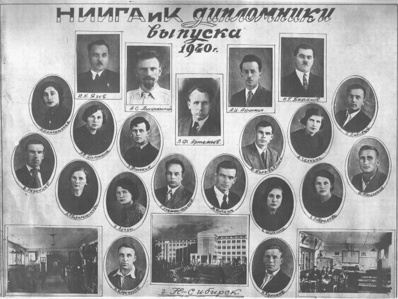
The number of students was increased to 150 – 50 students each for the astronomy and geodetic, cartographic and aerial photography geodetic specialties. The successful admissions campaign was facilitated by an article by the deputy director for scientific and educational work of the NIIGAiK, professor I. N. Yazev, published on April 28, 1940 in the largest regional newspaper, Sovetskaya Sibir. The publication covered the creation of a unique institution in Novosibirsk – the second institute of geodesy, aerial photography and cartography in the country. The author of the article defined a wide range of tasks that young engineers had to solve: astronomical determinations of time, latitude and longitude; design and measurement of triangulation networks to study the shape and size of the Earth; ground surveys and aerial photography; compilation and publication of topographic maps; determination of gravity and identification of natural resources. It was thanks to this article that many graduates of schools in the Novosibirsk region, which in those years included the territories of today's Tomsk and Kemerovo regions, received the necessary information about the start of the work of a new university, where graduates were trained in promising specialties.
The total number of students at the beginning of the academic year was 314, and the number of teachers was 32. By that time, classes were held in a newly built dormitory, and finishing work was underway in the academic building. There was a real prospect of starting classes in the new building in the 1941/1942 academic year, but the peaceful formation of the university was disrupted by the war.
The Great Patriotic War found NIIGAiK in its infancy and interrupted its progressive development. In May 1941, the first director of NIIGAiK, A. I. Agroskin, was called up for retraining. Professor I. N. Yazev was appointed acting director. With the outbreak of the war, most of the students were called up for service in the Red Army. Many senior students were sent to continue their education at the Geodetic Department of the Kuibyshev Military Engineering Academy. Among them were R. D. Panin, L. F. Tarnovsky, N. D. Bogachev, I. F. Zagainov, V. K. Tyzhnov, V. A. Eisik, G. A. Yakimov, L. P. Kolodkin, B. G. Klimentov, G. V. Fertyakov, P. M. Ermakov, and others.
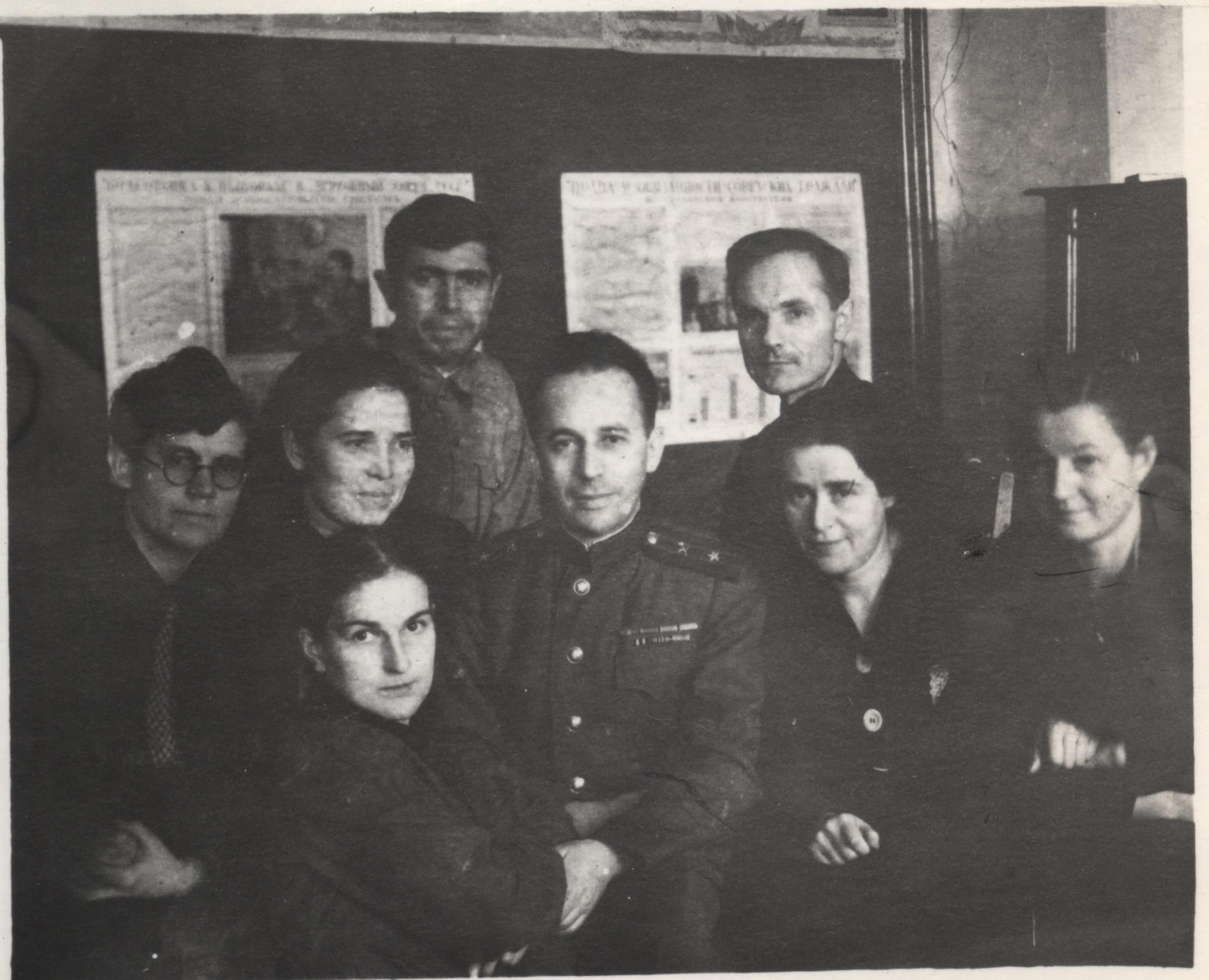
At the beginning of the war, the GUGK under the Council of People's Commissars of the USSR, as well as specialized survey organizations, were faced with unusually complex and responsible tasks. It was necessary to carry out geodetic surveys for the purpose of optimally locating enterprises evacuated from the war zone, as well as to open new mines and shafts, lay new roads, air routes, communication lines and power supply. At the same time, it was necessary to urgently, literally from scratch, provide the RKKA (Workers' and Peasants' Red Army) with topographic maps for a huge territory stretching from the front line to the Volga.
The situation was aggravated by the fact that leading geodesists, cartographers and topographers left for the front. Thus, the director A. I. Agroskin, teachers D. Ya. Luchuk, P. I. Ivanov, A. I. Bolotin, G. I. Znamenshchikov, I. P. Pososhnikov, M. V. Zakharov, S. Ya. Belykh, S. A. Lukyanov and others were called up from NIIGAiK to the army. Despite the difficulties of wartime, it was necessary to continue training engineering personnel. At the same time, the war made its own adjustments to the educational process. Thus, in July 1941, the Novosibirsk City Executive Committee confiscated both buildings of NIIGAiK without any compensation to house the Svetlana Electrovacuum Instrument Plant No. 617 evacuated from Leningrad. Within a few days, the institute's premises were completely cleared of its equipment, property and inventory. Although NIIGAIK accepted students in 1941, they had nowhere to live and study, so classes for the 1st and 2nd years were not held in the fall semester. Junior students were sent to factories, while classes for senior students continued. They were first held in the premises of the Novosibirsk Institute of Military Transport Engineers (NIVIT, currently SGUPS), and from November 1941, in the building at 27 Potaninskaya Street. Here, the institute was allocated six rooms belonging to the Novosibirsk Aerogeodetic Enterprise for holding classes in the evenings. From February 1942, NIIGAIK additionally rented several classrooms in Secondary School No. 54.
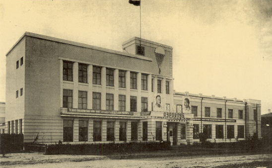
However, in such cramped conditions, there could be no talk of a normal educational process. The issue of allocating additional space to the institute was decided at the government level: by order of the Council of People's Commissars of the USSR No. 18195-r of September 22, 1942, part of the Aeroclub building on Krylov Street, 24 was transferred to the university for the duration of the war. Later, by order of the Council of People's Commissars of the USSR No. 5112-r of March 7, 1944, the institute was additionally given the fourth and fifth floors of the left wing of the building on Potaninskaya Street, 27. The total area of classrooms in the two buildings was 1,098 sq. m, which was less than 10% of the area of the buildings transferred to Plant No. 617 at the beginning of the war.
During the Great Patriotic War, geodesists, cartographers and photogrammetrists faced the most difficult tasks in the deep rear of Siberia. The NIIGAiK team, overcoming difficulties, from August 1941 joined in the implementation of directives on the military-economic plan for the fourth quarter of 1941 and for 1942 for the regions of the Volga region, the Urals, Western Siberia, Kazakhstan and Central Asia. Work on the development of geodetic networks and the production of topographic surveys for these regions did not stop.
Already in the first months of the war, topographic surveys were carried out on many of these territories at scales of 1:100,000 and 1:200,000, which were subsequently used for geological exploration and virgin land development. The industrial practice of NIIGAiK students was linked to the tasks of fulfilling this military-economic plan.
As of October 13, 1941, the institute had 11 departments: geodesy, higher geodesy, astronomy, photogrammetry, cartography, geography, the foundations of Marxism-Leninism, higher mathematics, foreign language, chemistry and physics, and military physical education.
The Great Patriotic War brought about fundamental changes in the work of the NIIGAiK team. The start of the academic year was postponed until November. The departure of many employees of the institute to the active army led to a noticeable understaffing of the university with teachers. Thus, in the geodesy department, out of 8 full-time teachers and 7 part-time teachers, 5 and 3 remained, respectively, in the photogrammetry department - one teacher instead of five. In accordance with the decision of the Politburo of the Central Committee of the All-Union Communist Party (Bolsheviks) on the mobilization of communists for political work in the Red Army of November 10, 1941, almost all teachers of the Marxism-Leninism department went to the armed forces. Of the 11 teachers in this department, only one remained.
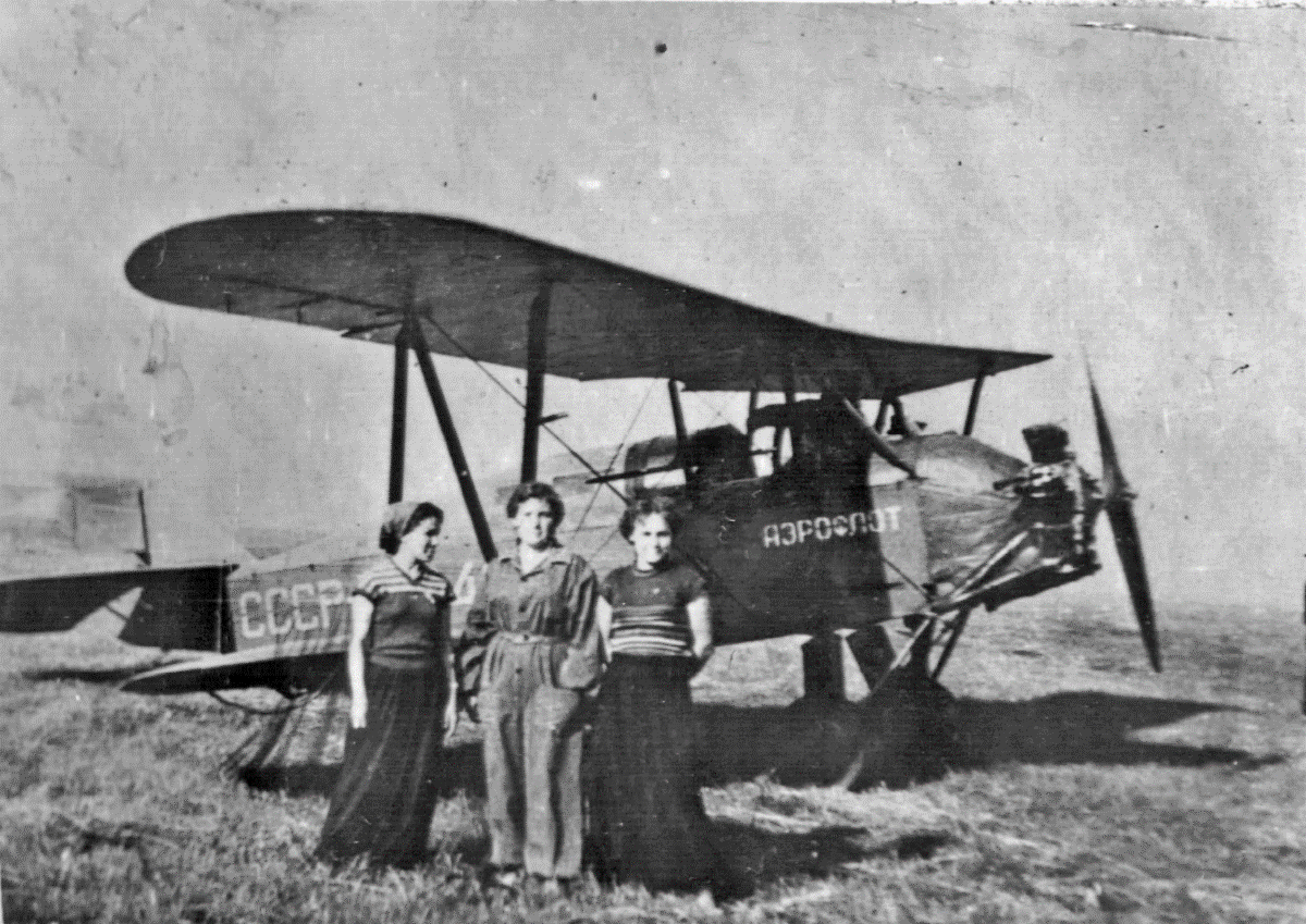
Despite the difficult financial conditions, the staff of teachers and students worked hard to complete the curriculum, and conducted research on 14 topics of defense significance. The students spent a considerable amount of time patronizing hospitals, volunteering on Sundays to build defense plants, and working on railway transport and in agriculture. Students, faculty, and employees of the institute collected 26,000 rubles to build the Geodezist tank. Soon, the institute received a government telegram with fraternal greetings and gratitude to the Red Army from I. V. Stalin.
Thanks to the restructuring of the university, the training of specialists did not cease; they were mainly employed by the Novosibirsk Aerogeodetic Enterprise and were involved in the implementation of the government assignment to map vast territories of Siberia and the Far East. The evacuation of specialists from the European part of the USSR allowed the faculty of NIIGAiK to be replenished with several employees, including V. V. Popov, E. S. Kovalev, A. I. Shershen, E. L. Gurari, D. S. Shein, I. V. Zubritsky, K. N. Gertsenova, and others. In 1945, the famous scientist F. V. Drobyshev was sent to NIIGAiK to give lectures on photogrammetry.
By 1943, the Institute's position had stabilized. After the recruitment of students in August 1943, their contingent numbered 277 people, of whom only 22 were men. In the same year, on the initiative of the outstanding scientist Professor V. V. Popov, a postgraduate course was opened. Field training practices were organized in the suburban area near the village of Repyevo in the Novosibirsk rural district.
At the end of the war, a system for working with the scientific shift began to be built. Thus, at the end of 1944, a conference of young scientists of the NIIGAiK was held. Following the conference, it was decided to make such events traditional and organize the work of scientific circles. Despite the war, city conferences of young scientists were held in Novosibirsk. Within the framework of the January 1945 conference of young scientists of the city, a geodetic section operated, headed by Corresponding Member of the Academy of Sciences of the Byelorussian SSR, Professor V. V. Popov. The best work of the section was recognized as the report of A. V. Butkevich, which dealt with universal tables for calculating azimuths, hour angles and altitudes of luminaries.
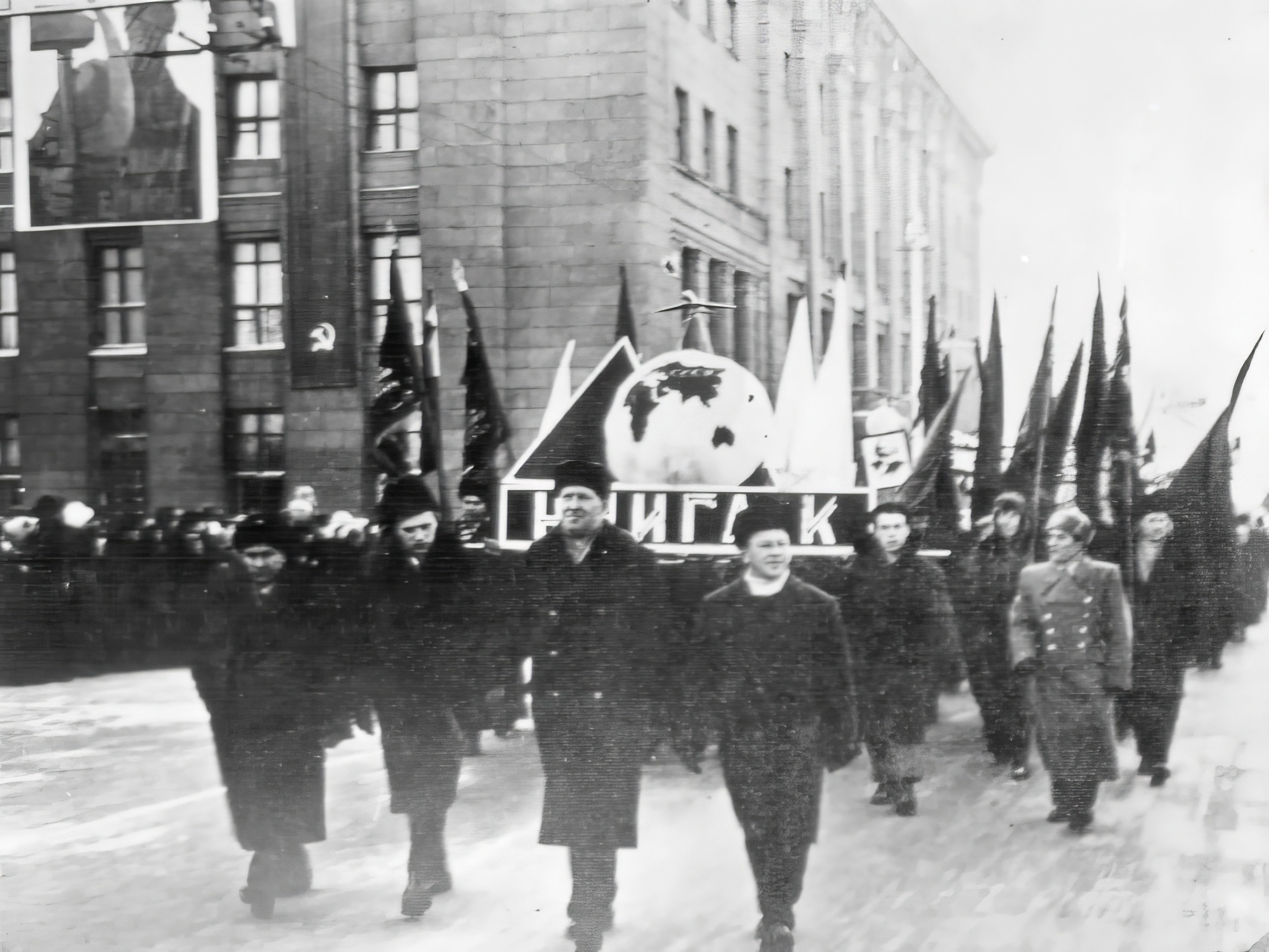
Together with the whole country, the staff of NIIGAIK joyfully celebrated the great and long-awaited Victory Day. Of course, many losses were irreparable.
The following students and teachers of the NIIGAiK gave their lives on the fronts of the Great Patriotic War: I. A. Avksentyev, E. N. Baranov, K. S. Buinovsky, S. P. Gerasimenko, G. S. Zyryanov, P. I. Ivanov, K. P. Kargin, B. G. Klimentov, V. Klimentyev, L. O. Kobyakov-Blinov, B. N. Kozlovsky, D. Ya. Luchuk, F. E. Polyvyanny, I. P. Popov, G. L. Rabinovich, O. I. Shishkarev, V. Yakhontov. However, all the teachers, staff and students of the institute who went through military trials did not stop hoping for a better life, better conditions for study and work.
After the end of the war, the Higher Geodetic School faced new major challenges. The Novosibirsk Institute of Geodesy, Aerial Photography and Cartography Engineers needed to expand the training of personnel to continue building the state geodetic network and complete the mapping of the country's territory at a scale of 1:100,000. Topographic maps were necessary for the further development of the country's natural resources, as well as new buildings in Siberia, Central Asia and the Far East.
In 1946, the university had 13 departments and 66 teachers. The military department, opened in 1944, was formed from the military section. Teachers demobilized from the army gradually began to return to the institute: A. I. Agroskin (in 1946 he was again appointed director of NIIGAiK), G. I. Znamenshchikov, A. N. Gridchin, S. A. Lukyanov, L. F. Tarnovsky, S. Ya. Belykh, M. V. Zakharov, A. I. Bolotin, M. A. Mitnikov. Associate Professor D. A. Kuleshov, a participant in the Great Patriotic War, was appointed deputy director for academic and scientific work (in 1949 he was transferred to the position of director of NISI). Many front-line soldiers returned to study, among them V. I. Alekseev, S. I. Rodionov, A. P. Fateev, I. M. Pavlov, V. A. Merkushev, V. G. Konusov, who after graduating from the institute got involved in teaching work. Immediately after demobilization in 1946, N. S. Permin came to work as a driver, who worked in this position at NIIGAiK until his retirement in 1980.
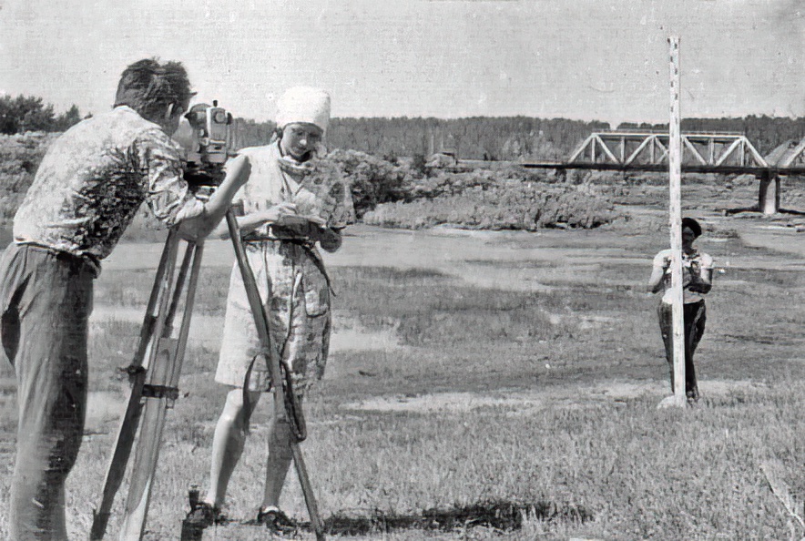
After the war, a powerful impetus was received in the development of various branches of the economy, science and higher education, which required a sharp volume of topographic and geodetic work and related scientific research. At the same time, there was a significant shortage of personnel. These problems had to be solved by using internal reserves. Many of the staff of the only specialized geodetic university beyond the Urals took direct part in field topographic work. In the first post-war years, teachers, students, engineering and technical personnel took an active part in mapping the most important industrial facilities and agricultural areas in the regions of Siberia and the Far East.
In the post-war years, active restoration of industrial facilities and cities destroyed by the fascists began. For example, 80% of the city infrastructure of Stalingrad was destroyed. The Dnieper Hydroelectric Power Station dam was blown up twice: first by our military engineers during the retreat of the Red Army in 1941, and then by the Germans during their retreat in 1943. In total, the fascists destroyed 31,850 industrial enterprises.
In March 1946, the Supreme Soviet of the USSR approved the fourth five-year plan for the development of the national economy (1946–1950), which provided for the most important economic and political task of restoring the regions of the country devastated by the war and achieving the pre-war level of development of industry and agriculture. The fourth five-year plan was fulfilled by industry ahead of schedule – in 4 years and 3 months. The pre-war level of production was achieved in 1948. During the five-year period, 6,200 restored and newly built enterprises were launched. Economic growth was ensured largely due to the industrial heroism of the people, active rationalization in production, the introduction of scientific and technological achievements, and the improvement of the skills of engineering and blue-collar workers.
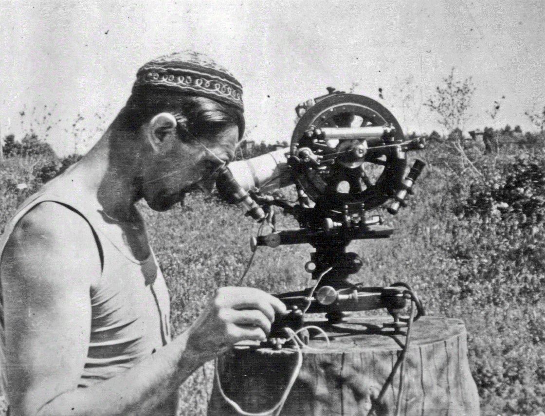
During the period of intensive economic recovery, the need for specialized engineering personnel with a geodetic profile became obvious, so in 1948, a new specialty was opened in two geodetic universities in the country - "Engineering Geodesy". A little later, in 1951, the Department of Engineering Geodesy was organized at NIIGAiK.
The first post-war years, despite all the difficulties, were productive for the university. There was an increased demand for specialists trained at the institute from organizations solving national problems of continuous mapping of the country and structures implementing large projects in the field of energy, land reclamation, and road construction. Topographic maps prepared with the active participation of NIIGAiK graduates were widely used as one of the most important sources of information about the Earth's surface and the natural conditions of the regions. They were used in general planning and design of powerful production complexes and events for the development of territories in Siberia, Central Asia, the Far East, and the Far North. Graduates and employees of the institute in different years took an active part in design and survey work on the Bratsk Hydroelectric Power Station, nuclear industry facilities in the Tomsk and Novosibirsk Regions, Krasnoyarsk Krai, and the Yakut diamond mining complex. Design, survey and construction organizations, industrial and agricultural enterprises were also active customers for specialists trained at the university.
In the 1950s, the state allocated large funds for the training of highly qualified specialists. The cost of training one full-time engineer on average for the period from 1950 to 1956 was 5.6 thousand rubles. Every year, NIIGAIK graduated an average of more than seventy engineers. Graduates of the institute quickly mastered production and successfully moved up the career ladder. Thus, out of 18 aerial photo-geodetic engineers graduated in 1952, by the spring of 1954, 12 people worked in management positions, 5 - as performers, 1 - in scientific and pedagogical work.
From 1945 to 1960, the institute developed a system for training specialists in basic geodetic specialties, developed a methodological basis, and formed a team of highly qualified teachers and employees. Since 1947, the "Proceedings of NIIGAiK" began to be published, in which the results of scientific research by teachers and postgraduate students of the institute were published.
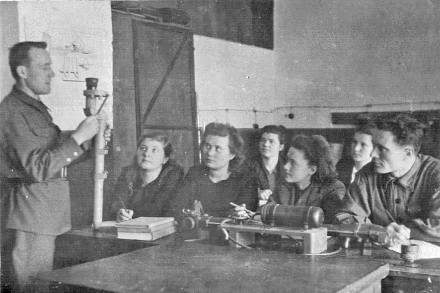
The leading position in NIIGAiK in the 1950s and 1960s belonged to the Department of Geodesy. In accordance with the order of the USSR Ministry of Higher Education dated May 21, 1955, which provided for the consolidation of university divisions, on June 6, 1955, the institute issued an order "On the consolidation of NIIGAiK departments". According to the order, the Department of Drawing and Map Design (Head of Department I. I. Markson) was transferred in full to the Department of Geodesy (Head of Department A. I. Agroskin), and the composition of the combined Department of Geodesy for the 1955/1956 academic year was approved: S. Ya. Belykh (Acting Associate Professor, Ph.D. in Engineering), A. N. Gridchin (PhD), Z. M. Yurshansky (PhD), and teachers G. M. Zdesenko, N. M. Korenkov, I. I. Markson, A. I. Garskova, T. V. Belogorskaya, T. S. Egorova, K. K. Kirichek. Since 1959, V. T. Buzuk has worked at the department; she had previously been awarded a prize by the Council of Ministers of the USSR. In accordance with the order, the disciplines of the geodesy department began to include teaching the least squares method and topographic drawing.
In 1955–1956, the number of departments was reduced from 14 to 11, and faculties from three to two. Moreover, the institute’s divisions were small. For example, in the 1958/1959 academic year, the number of professors and teachers at NIIGAiK was 60 people. The student body as of September 15, 1957 was 631 people, and as of September 15, 1958, it was 692 people. In the 1957/1958 academic year, the number of professors and teachers was, as in the 1956/1957 academic year, 58 people, 33 people of educational and auxiliary personnel, and 12 people of educational and production personnel. In total, 103 people worked at NIIGAiK.
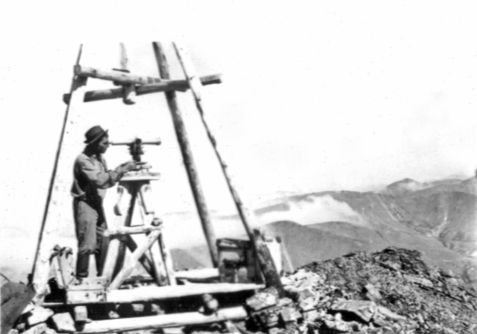
In the 1950s, NIIGAiK joined international cooperation, and a number of its employees participated in providing assistance in training personnel for developing countries. Thus, in 1955-1957, the head of the geodesy department, A. I. Agroskin, was sent on a business trip to the People's Republic of China, where he took an active part in organizing higher geodetic education at the Wuhan Polytechnic Institute. Upon returning from the business trip, A. I. Agroskin returned to head the geodesy department and was confirmed in the position of professor.
In the first twenty years after the war, the progressive development of NIIGAiK was hampered by the lack of its own teaching and laboratory space. The educational building and student dormitory of the institute, transferred to a defense plant during the war, were not returned, and the rented educational space in the buildings on Krylov and Potaninskaya streets were poorly suited for classes and did not ensure the organization of either educational or scientific research work. The small number of places in the dormitory deprived the institute of an influx of many out-of-town students. The situation of NIIGAiK became critical when a fire in January 1955 put the building on Potaninskaya street out of order. The restoration of the premises was entrusted to NIIGAiK, which at that time did not have sufficient repair and construction facilities. In addition, after the restoration of the building in 1957, two floors, on the instructions of higher authorities, were transferred on a leasehold basis to geological organizations. The remaining three floors, the basement on Potaninskaya Street, and the area in the rented premises of the Aeroclub amounted to about 2,500 square meters and provided only minimal conditions for conducting classes and scientific research. The opening of a training geodetic testing ground near the village of Izdrevaya in 1957 significantly contributed to the improvement of the professional training of students, where many thousands of students learned the basics of field work in the following years.
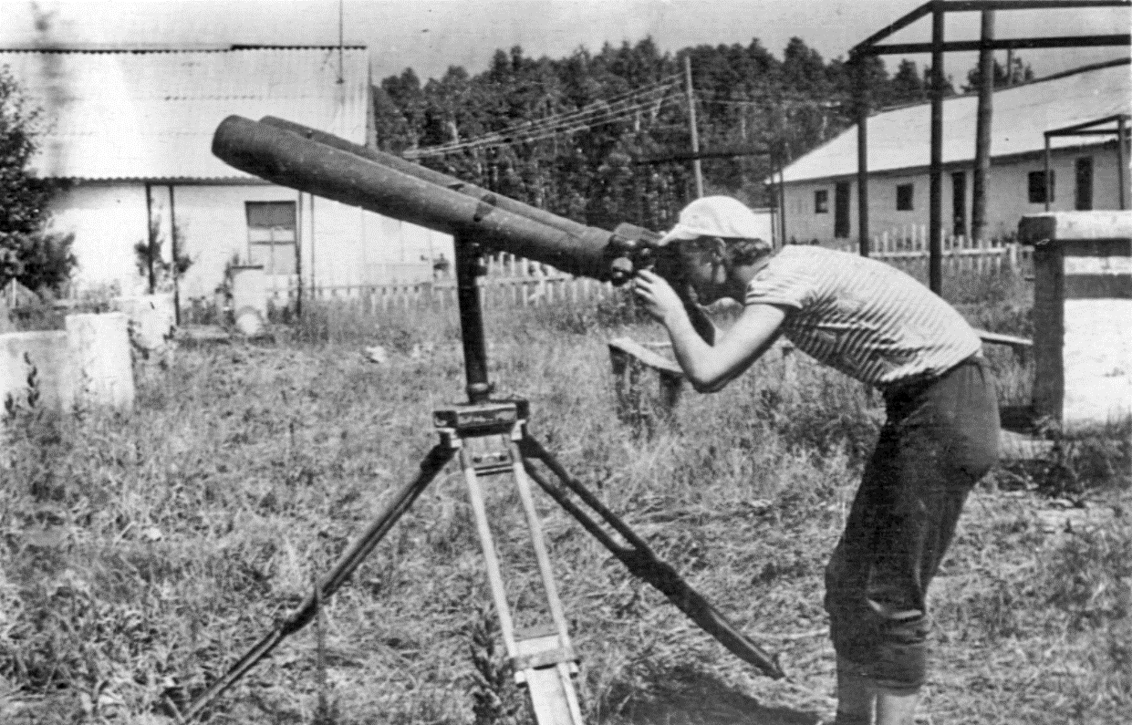
In 1957, a station for observing artificial Earth satellites was created at NIIGAiK. Two years later, a correspondence department was created, which in 1960 was transformed into a correspondence faculty.
In the period from 1960 to 1970, the introduction of computer technology into the educational process and scientific research began; programming began to be studied at the institute, and the first vacuum tube computers appeared.
The government decree of May 9, 1963, "On measures for the further development of higher and secondary specialized education, improvement of training and use of specialists" played an important role in the development of higher education in general and NIIGAiK in particular. The decree outlined practical ways to eliminate shortcomings in the development of higher education, and established proportions in the training of specialists with higher and secondary specialized education. Planning for the training of specialists was to be carried out in accordance with the need for personnel in the sectors of the national economy and culture; higher education was to receive accelerated development in areas of intensive development of industry and agriculture. In order to streamline the network and strengthen universities, some higher education institutions were merged or reorganized.
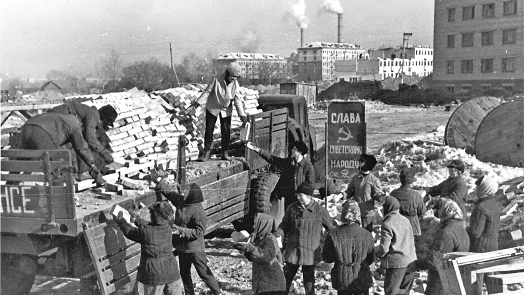
The government decision of 1963 allowed the management of NIIGAiK to achieve a decision in the decision-making bodies to begin construction of the institute's building complex in the left-bank part of Novosibirsk. A standard project was used as a basis, which allowed for a sharp reduction in the time and costs of design. Construction proceeded at a rapid pace, students and teachers actively participated in Saturdays and Sundays to erect buildings, and already in 1965 the construction of the main building was completed.
The turn of the 1950s and 1960s was characterized by the rapid development of science and technology, epochal achievements in space, nuclear energy, computer, laser technology and optical technologies. In Novosibirsk, one of the largest centers of optical instrument making, there was an urgent need for engineering personnel.
Rector of NIIGAiK K. L. Provorov put forward an initiative to create an optical faculty at the institute, and it found fertile ground. The initiative was also supported by the relevant department. Therefore, in order No. 289 of the Minister of Higher and Secondary Specialized Education of the RSFSR V. N. Stoletov dated April 25, 1964, it was stated: "In accordance with the needs of the West Siberian Economic Region (SNE) ... and for the purpose of further improving the deployment of specialties, I order: to open, from September 1, 1964, at the Novosibirsk Institute of Geodesy, Aerial Photography and Cartography Engineers, training engineers in the following specialties: 0530 - "Optical Instruments", 0556 - "Optics and Spectroscopy". Following this, the planning and financial department of the Ministry of Education established, by its letter No. 12–2/2954 of May 28, 1964, a plan for the admission of full-time students in specialties new to NIIGAiK: 25 people in the specialty “Optical Instruments” and 50 people in the specialty “Optics and Spectroscopy”.
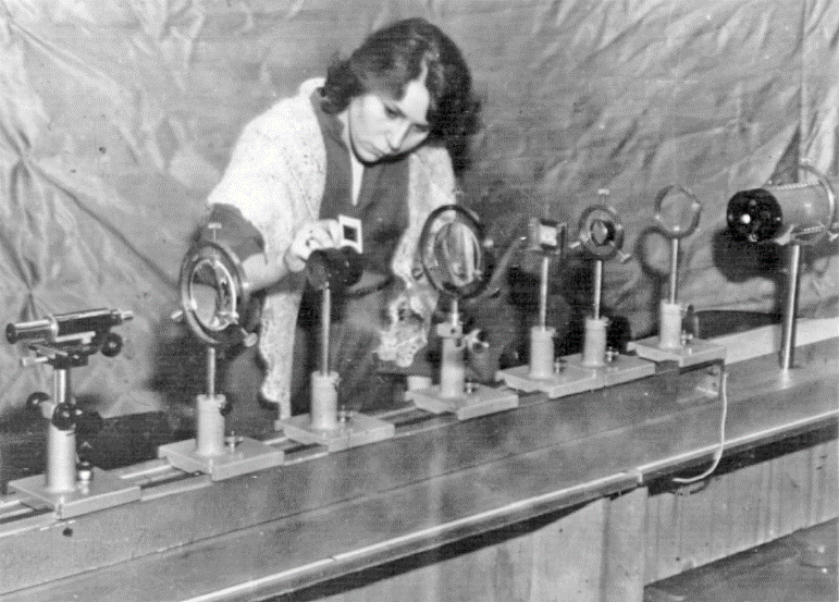
The decision of the capital's authorities was specified in the order of the Council of the National Economy of the West Siberian Economic Region No. 933-r of September 29, 1964, where, with reference to the order of the minister, it was stated: "... in 1964, a faculty will be opened at NIIGAiK." The order of the Council of the National Economy allowed the management of NIIGAiK to begin preparations for the academic year, taking into account the new specialties, even before the release of official documents through the department. One general specialty 0530 was opened - "Optical Instruments and Spectroscopy." The training lasted 4 years and 10 months and took place at the aerial photography and geodetic (cartographic) faculty of NIIGAiK.
In the fall of 1964, the Department of Fundamentals of Mechanical Engineering was organized to train opticians, then the Department of Optics and Spectroscopy, and in July 1966, an independent optical faculty was formed. The competition for admission to the optical faculty of NIIGAiK was extremely high and quite comparable to the competition for the most popular specialties at Novosibirsk State University. In 1968, the specialty "Precision Mechanics Instruments" was opened.
In the second half of the 1960s, scientific and technical achievements began to actively advance into all branches of production and higher education. By this time, it became clear that classical land-based geodetic methods had completely exhausted themselves in terms of accuracy, productivity, and information content. These technologies had no future. The development of geodesy and related disciplines became impossible without computers, electronic measurement methods, and aerospace technologies.
In these conditions, the increase of educational and laboratory areas was of particular importance for the development of NIIGAiK. In 1970, a laboratory building was put into operation. Two student dormitories, a canteen and a number of utility rooms were built next to the new educational buildings. The total area of the institute was 19.4 thousand square meters, which was 7.6 square meters on average per student. Many teachers and hundreds of students took part in the construction of buildings and equipment of laboratories. The commissioning of the second building allowed for a radical improvement in the conditions for students to study and teachers and staff to work.
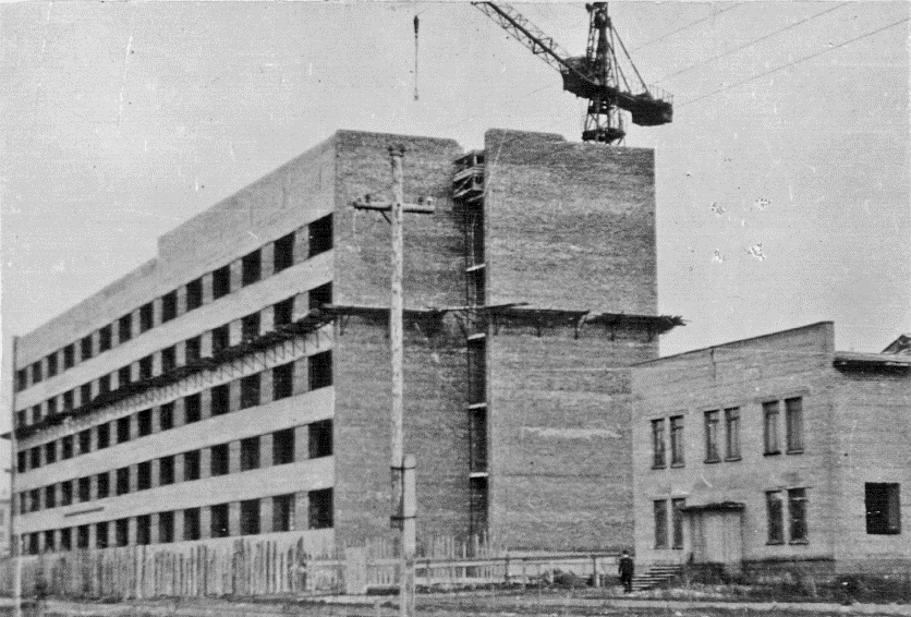
Due to the increase in the total number of students and the expansion of training in optical specialties at the institute, the total contingent of students grew, and on this basis, in December 1967, by order of the Minister of Higher and Secondary Specialized Education of the RSFSR, NIIGAiK was transferred from the third category to the second category of universities. The order stated: "Considering that the Novosibirsk Institute of Geodesy, Aerial Photography and Cartography Engineers is a higher educational institution that trains personnel for important sectors of the national economy and successfully carries out scientific research, <…> assign it to the second category…". This order summed up the first stage of the institute's development, in which an outstanding scientist and organizer, the rector of the institute, Konstantin Leontyevich Provorov, played a significant role.
In the 1970s, scientific directions related to automation, modeling of practical and theoretical work in the field of geodesy were formed. The student contingent was constantly increasing. In 1970, the plan for admission to the first year of NIIGAiK was 750 people, including 550 for daytime education, 100 for correspondence and evening education. The growth of admission in the second half of the 1960s made it possible to significantly increase the capabilities of the university. As of January 1, 1970, 3,122 students were studying at the institute, of which 2,080 were in the daytime department, 755 in the correspondence department, and 287 in the evening department.
New achievements in cybernetics and computer technology have caused fundamental changes in research work and training of specialists in geodesy. If students in the 1960s practically only used adding machines, abacuses, tables, especially logarithmic ones, then by the end of the 1960s, desktop electric keyboard machines (EKVM) began to appear, perceived as the latest technology. As for computers, the educational process mainly studied address programming. Only the strongest students in their research work tried to solve some problems in the field of relatively simple geodetic calculations on a computer. In the educational process, the tabular method of processing geodetic measurements, described in all textbooks and reference books, had a monopoly position.
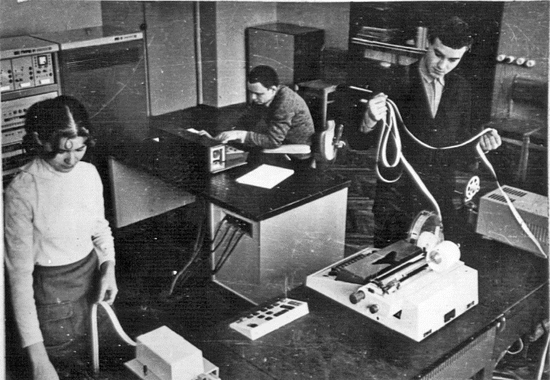
Computer and space technologies began to be introduced into scientific research and the educational process. The leadership in the application of these technologies belonged to the aerial photogeodetic faculty. Here, analytical, universal and universal-analytical methods of processing images began to be used to create maps, and later - to solve engineering problems. At this time, in addition to improving the laboratory of universal devices, equipped with domestic and foreign devices, a laboratory of stereocomparators of the Carl Zeiss Jena company was organized, a sensitometric laboratory was created, equipped with automatic and semi-automatic devices, sensitometers and densitometers. Since the 1970s, space photogrammetry and automatic processing of all types of images began to have a decisive influence on all types of work, a laboratory of automated precision devices - monocomparators and a stereocomparator was organized, since 1969 an analytical stereocomparator based on a computer began to be used.
At the turn of the 1960s and 1970s, the institute began to carry out work using space geodesy methods. The creation of the so-called "orbital group" began at NIIGAIK, on the basis of which a research laboratory of space geodesy was organized in 1973. Its first research associates were Yu. V. Surnin, I. G. Vovk, V. A. Ashcheulov, Yu. V. Dementyev, S. V. Kuzhelev, N. N. Egorov, A. M. Tokarev. Seven people developed the "ORBITA-74" software package in three years. This allowed the staff of the Central Research Institute of Geodesy, Aerial Photography and Cartography to assess the accuracy of the orbital method for determining the coordinates of ground points, and the Astronomical Council of the USSR Academy of Sciences, together with the research laboratory of space geodesy, to more accurately determine the coordinates of a number of islands in the Indian and Atlantic Oceans. Later, the software package was improved, and the central block of the ORBITA-84 program was incorporated into the onboard model of the GLONASS-M spacecraft motion.
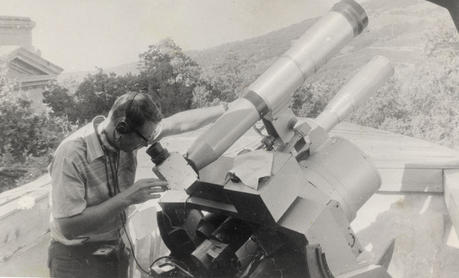
Since the early 1970s, the need of industry and science for high-precision measurements has increased dramatically. In this regard, the number of students enrolled in the specialty "Applied Geodesy" was significantly increased, and the Department of Engineering Geodesy began to occupy a leading position in the university. Specialists from NIIGAiK in various fields of geodesy were involved in work in high-tech industries. On the initiative of Associate Professor B. N. Zhukov and with the active support of the Head of the Department of Engineering Geodesy, Professor, Doctor of Technical Sciences V. G. Konusov, special work was launched on engineering and geodetic support for the operation of energy facilities, including nuclear power plants. Later, Associate Professor I. V. Lesnykh, teachers G. A. Ustavich, V. I. Tverdovsky and others joined this work.
At the initiative of the Vice-Rector for Research, Professor, Doctor of Technical Sciences V. V. Buzuk, connections were established with organizations involved in space research. Thus, in 1985–1988, Senior Researcher of the Research Sector, Lecturer of the Department of Higher Geodesy Yu. N. Nagorny took part in a set of works on certification of navigation equipment for the reusable spacecraft Buran.
Space exploration gave rise to a new direction in Earth exploration – aerospace geodesy. In this regard, the aerophotogeodetic faculty developed significantly in the 1970s. For ten years, from 1979 to 1989, the aerophotogeodetic faculty was headed by associate professor, PhD E. I. Panshin. With his assistance and support, a new specialty, “Aerospace Research of Natural Resources,” was opened at the photogrammetry department.
In the 1970s, research work at NIIGAiK acquired a wide scope. Under the leadership of the vice-rector for research V. V. Buzuk, permanent ties were established with many enterprises and organizations of industrial and design and research profile, including those that worked "for space". This period is characterized by the formation of scientific groups and schools. With the active participation of the NIIGAiK management, the Research Institute of Applied Geodesy (NIIPG) was created in 1969, with Cand. Sci. (Eng.) V. F. Chernikov becoming its director (later, from 1977 to 1988, NIIPG was headed by D. Sci. (Eng.) I. T. Antipov). During these years, cooperation with institutes of the USSR Academy of Sciences expanded, a cycle of studies was carried out on complex scientific and technical programs aimed at solving the most important state tasks of long-term plans for the development of the country's national economy.
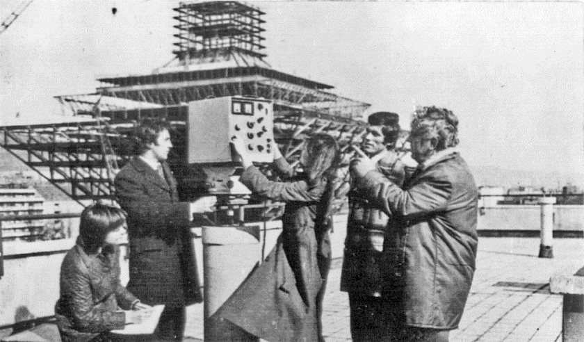
This period was characterized by the transition to the widespread use of computers, observation data from artificial Earth satellites, data from spacecraft, laser and radio-electronic means of measuring distances to solve geodetic problems; space photography of the earth's surface to study natural resources, compiling topographic and various thematic maps of the entire Earth or individual sections of its surface; development and implementation of automated systems. In the field of optics, there was active development of optical-electronic and laser-optical systems of various classes and purposes.
During the period from 1970 to 1983, the staff of NIIGAiK published 33 collections of scientific papers, in which more than 500 works were published; 2 doctoral and 50 candidate dissertations were defended; 62 inventor's certificates were received. The volume of scientific research work carried out by the institute's staff annually increased 20 times and reached one million rubles; the economic effect of their implementation amounted to 15 million rubles. NIIGAiK joined in the implementation of geodesy research in three comprehensive scientific and technical programs of the Ministry of Higher and Secondary Specialized Education of the RSFSR.
During these years, scientific and scientific-practical conferences on the problems of developing geodetic technologies acquired a wide scope. In 1976, the NIIGAiK hosted the All-Union Conference on the Dynamics of Artificial Earth Satellites (AES), where the obtained results and problems of space geodesy were discussed. In 1979, the All-Union Conference "Improving the Program and Scheme for Constructing Geodetic Networks in Cities" was held, the results of which contributed to the further improvement of work on geodetic support for cities, industrial complexes and engineering facilities.
The staff of NIIGAiK, together with the team of NIIPG, developed and implemented a number of automated systems at the enterprises of the Main Directorate of Geodesy and Cartography under the Council of Ministers of the USSR: an automated system for processing photogrammetric data, which makes it possible to solve more than 20 photogrammetric problems, including the adjustment of individual routes and blocks (Doctor of Engineering Sciences I. T. Antipov, Associate Professors V. N. Belykh, A. P. Goncharov); an automated system for processing geodetic and astronomical measurements, which makes it possible to carry out the entire range of triangulation and polygonometry processing, starting with preliminary processing and ending with the adjustment of networks and the issuance of the necessary documentation (Professor K. L. Provorov, Associate Professors M. I. Kuzmin, V. T. Gorbunov, V. I. Mitskevich, and others); the subsystem “Processing scientific and technical information of leveling networks in the USSR”, which made it possible to successfully perform the adjustment and assessment of the accuracy of an extensive leveling network of the first and second class in the “Vostok” block (Associate Professor V. T. Gorbunov).
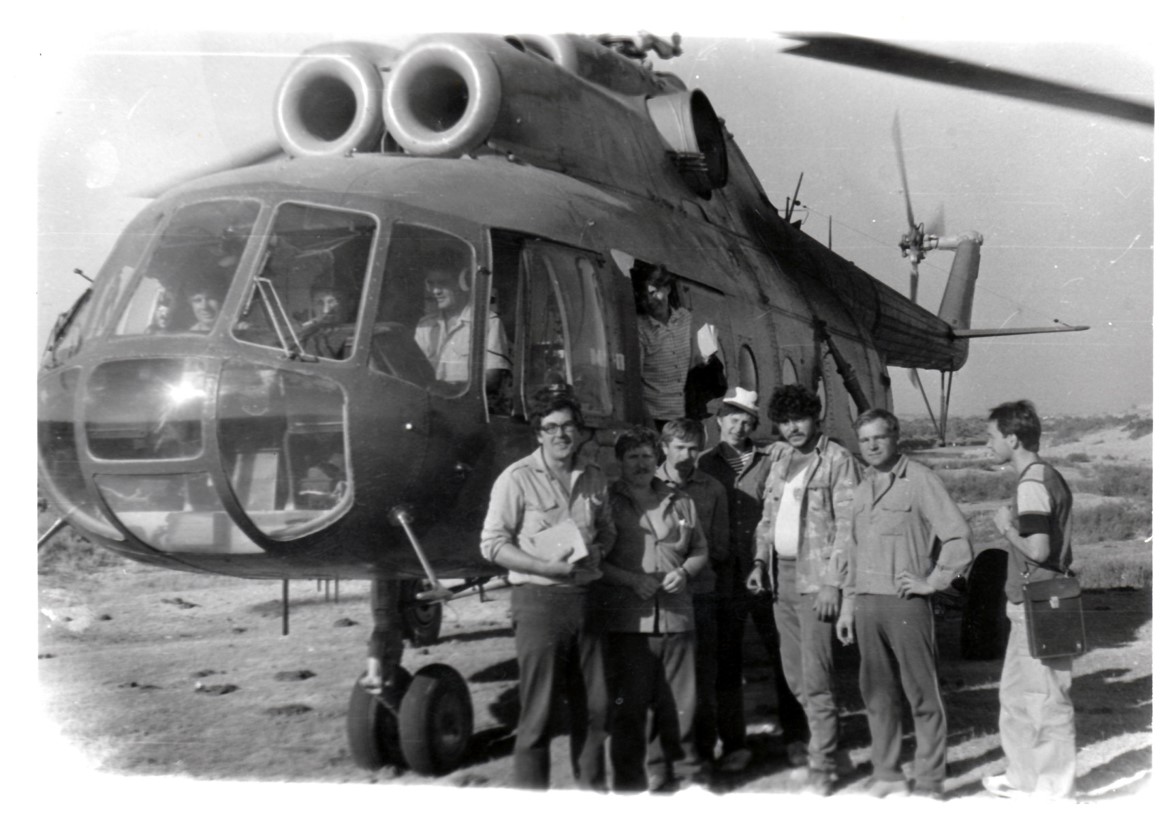
Research was conducted at the Research Institute of Geodesy, Cartography and Cartography to develop automated systems for creating and updating topographic maps and plans (Associate Professor I. G. Vovk, Assistant Yu. G. Kostyna, and others) and to develop an automated system for controlling the technological process of hydroelectric power plants with the processing of geodetic, gravimetric, meteorological, and other information characterizing the state of hydroelectric power plant structures during observation periods (Professor V. V. Buzuk, Associate Professor I. G. Vovk, Assistants V. F. Kanushin, A. N. Solovitsky).
At the turn of the 1970s and 1980s, geodetic science and practice required developing not only methods, but also technical means, devices, and equipment. This required certain knowledge in the field of standardization and patent law. The new requirements were reflected in the 1982 curriculum, where the discipline "Fundamentals of Standardization and Patent Law" was introduced. The 1970s and 1980s were years of progressive development of NIIGAiK, characterized by an increase in the number of students and teachers, an increase in the quality of the staff, the formation of new areas of scientific research, and strengthening the material base of the institute. The Department of Photogrammetry of NIIGAiK implemented a large project "Study of the Dynamics of Volcanic Development and Identification of Eruption Precursors Using Photogrammetric Methods", in which N. F. Dobrynin, B. V. Seleznev, V. I. Shkred, and L. N. Shilova took part. For 10 years, expeditions were conducted to carry out work on the volcanoes of Kamchatka, in which students of the specialty "aerial photogeodesy" participated. The developed photogrammetric technology was awarded a silver medal by the USSR Exhibition of Economic Achievements in 1980.
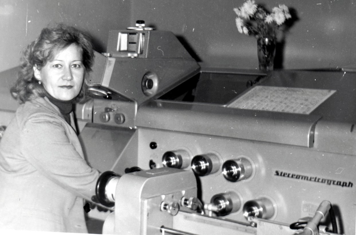
In 1977, the Cartography Department signed a contract with the Institute of Forestry and Timber of the Siberian Branch of the USSR Academy of Sciences on the topic of "Thematic mapping of Siberia's natural resources based on remote and aerospace surveys" for a period of four years, for a total of 40 thousand rubles. Conventional symbols and a methodology for compiling various thematic maps were developed, 16 original maps were produced, and 85 copies were reproduced. The scientific supervisor of the topic was Associate Professor O. V. Sokolov, and the person in charge was Associate Professor Yu. V. Gavrilov.
In the 1980s, computer-aided design (CAD) systems began to be used. During these years, work continued on studying deformations at major energy facilities (GRES, HPPs, and NPPs), cooperation developed with scientific institutions of the Siberian Branch of the Academy of Sciences and geodetic organizations, NIIGAiK laboratories were replenished with modern optical theodolites, the first personal computers and other technical equipment appeared.
Since 1977, foreign students from the GDR, Hungary, Cuba, Mongolia and Vietnam began studying at the institute. During these years, 23 representatives from the GDR, Mongolia and Vietnam completed their postgraduate and doctoral studies.
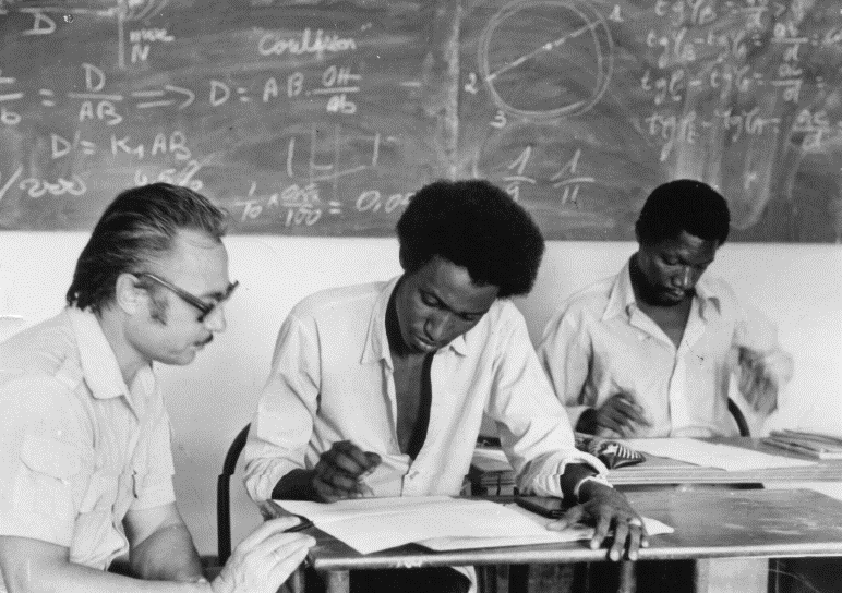
In 1979, a council for the defense of candidate dissertations was opened at the Research Institute of Geotechnical Architecture and Cartography.
For its services in training qualified specialists and developing scientific research, NIIGAiK was awarded the Order of the Badge of Honor by the Decree of the Presidium of the Supreme Soviet of the USSR dated April 5, 1983. Over fifty years, the institute has trained 12 doctors and 115 candidates of science, published 57 collections of scientific papers and 23 monographs. For many years, outstanding scientists, doctors of technical sciences, who were awarded the high title of "Honored Worker of Geodesy and Cartography of the RSFSR" worked at the institute: K. L. Provorov (1980), V. V. Buzuk (1984), V. G. Konusov (1984), I. T. Antipov (1986). In 1987, a special faculty of "Microprocessor Technology" was opened at the institute, and in 1988-1990 two new specialties – “Natural Resources Research” and “Space Geodesy”.
The University has achieved worthy results in scientific activities in the field of theoretical geodesy, processing of Earth remote sensing data, development of high-precision methods for monitoring deformations of large industrial facilities, optics and spectroscopy, etc. The foundation was laid for the development of connections with production, implementation of implementation and contractual work at enterprises not only in the geodetic profile, but also in other sectors of the national economy.
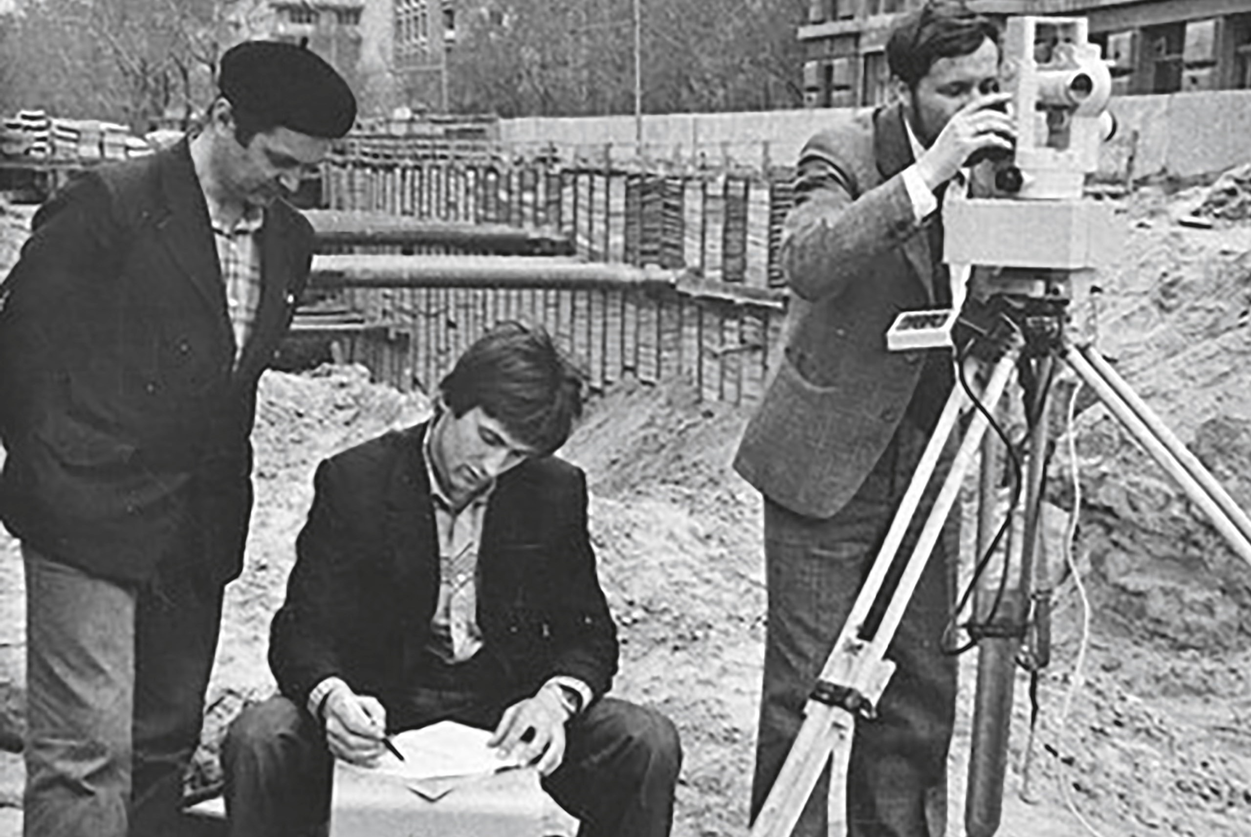
Among the most significant projects of this period were: work at the Leningrad, Chernobyl and Ignalina nuclear power plants, the Volgodonsk Nuclear Engineering Plant, the Pavlodar Petrochemical Plant, and machine-building plants in Novosibirsk, Omsk, Barnaul and other cities. The institute’s employees took an active part in eliminating the consequences of the Chernobyl disaster in 1986. For the courage and dedication they demonstrated, I. V. Lesnykh, A. L. Malinovsky, P. V. Muchin and V. S. Nikiforov were awarded the Order of Courage. Rectors S. I. Rodionov (1970–1986) and N. A. Meshcheryakov (1986–1991) made a great contribution to the development of the university during this period.
Scientific research was further developed. In 1991, several graduates of the institute defended their doctoral dissertations (P. D. Amromin, A. P. Guk, N. F. Dobrynin, M. I. Lobov).
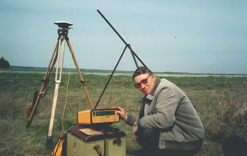
The period of the 1990s was characterized by diverse changes in the system of higher education. Nevertheless, for NIIGAiK it became one of the most dynamic in the history of the university. At that time, new areas of activity were formed, based on the development of training in popular specialties, computerization, the introduction of modern technologies into the educational process and scientific research. NIIGAiK acquired the latest expensive technological equipment at that time, which made it possible to create several high-tech laboratories, including a laboratory of navigation and geodetic research (a navigation system consisting of two components: Transpak with an accuracy of 15 meters and Trimble GPS Pathfinder Basic Plus with an accuracy of determining coordinates of 2-3 meters); a laboratory for research in promising cartographic and geodetic technologies, equipped with a personal computer, a plotter, and scanning devices. In addition, the university acquired several dozen third-generation theodolites and levels, which allowed it to significantly update its instrumentation and improve the quality of practical training for future specialists.
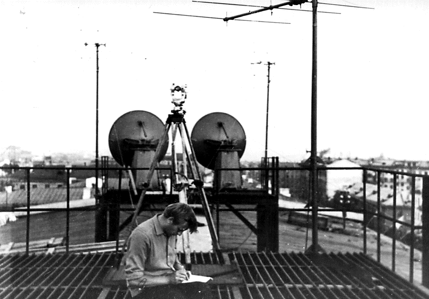
In the 1990s, despite the crisis in the state’s politics and economy, NIIGAiK continued to open new specialties: “Metrology”, “Geoecology”, “Economics and Management at the Enterprise”, and also to increase contacts with leading enterprises in Russia, without losing the pace and volume of research and contract work.
In 1991, the Technical Lyceum was opened at the institute, where students in grades 9, 10 and 11 study.
By the beginning of 1993, the institute had five faculties, the student body numbered 2,700 people, training was conducted in 12 specialties, and the number of scientific and teaching staff reached 290 people.
In 1994, the university changed its status and received the name “Siberian State Geodetic Academy” (SSGA).
Global changes in the economy in the 1990s required reorganization of the university structure and adjustment of the personnel training system. First of all, it was necessary to focus on training personnel in the field of land cadastre and real estate. In this regard, work began on the formation of a new specialty "City Cadastre".
On July 1, 1997, the Institute of Geodesy and Management (IGiM) was established on the basis of the Geodetic Faculty of the Academy (Director – A. P. Karpik). In the period from 1997 to 2002, new promising specialties for the university were opened: "Information Systems and Technologies", "Economics and Management at an Enterprise in Geodetic Production", "Economics and Management at an Enterprise in Tourism and Hotel Industry", "Management". The new specialties made a significant contribution to the formation of a new image of the university, increased its recognition rating. IGiM made a significant contribution to the expansion of the geography of students, including through the opening of branches in many regions of Russia. During the years of rapid development, over 7,000 students studied at IGiM, the graduate distribution system was effective, in which representatives of the largest Russian companies actively participated.
On the initiative of professors E. I. Panshin and V. A. Ashcheulov, in November 2001, the Institute of Distance Learning (IDL) was created with the aim of increasing the effectiveness of the Academy's activities in the field of distance and correspondence education. The Institute included a correspondence faculty, branches in the cities of Yekaterinburg, Toguchin, Bolotnoye, the village of Linevo, and representative offices in the cities of Kemerovo and Nyagan.
From 1946 to 2008, the institute had a military department. During these years, more than 5,000 reserve officers graduated. Some NIIGAiK graduates chose a military career, served in units of the topographic service of the Armed Forces of the country, as well as in the Strategic Missile Forces (RVSN). The most famous graduate of the institute who entered military service was PhD in Engineering, Colonel V. F. Galazin. He served in the 29th Research Institute of the Ministry of Defense of the Russian Federation, became a laureate of the State Prize of the Russian Federation in 1999 in the field of science and technology for the development and implementation of the coordinate system "Parameters of the Earth - 90".
In the most recent period of the SSGA history, on the initiative of the rector A. P. Karpik, a full-scale work on modernization of all aspects of the academy's life began. The teams of departments, faculties and institutes were aimed at improving the quality of the educational and scientific process, introducing achievements of IT technologies, and comprehensive computerization. The material, technical and instrumental base changed radically. All departments of the university were equipped with modern computer technology and connected to high-speed Internet.
In accordance with the demands of the information revolution, work has been launched to radically transform the image of the university and update its traditional brand. For this purpose, high-quality capital repairs of the academy buildings and student dormitories, facades, as well as designer interior repairs were carried out. As a result, the university acquired a modern appearance and turned into one of the most well-appointed higher education complexes in Novosibirsk.
In organizing the educational process, special attention was paid to improving the quality of training specialists in areas promising for the new decade of the 21st century. This work was carried out most effectively in the field of geodesy and information systems.
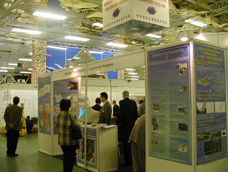
Since 2005, SSGA and ITE Siberian Fair have become partners in organizing and holding the international specialized exhibition and scientific congress GEO-Siberia, which has become traditional. Today, the International Exhibition and Scientific Congress Interexpo GEO-Siberia is the largest forum in Russia in the field of geospatial activities.
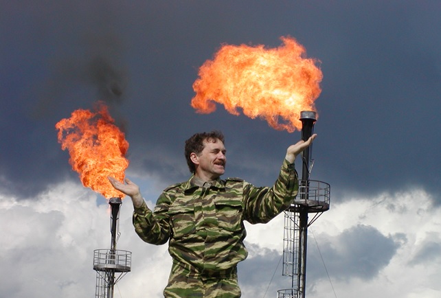
At the initiative of A. P. Karpik, a course was taken to strengthen the innovative component of all areas of the university's development, including in the field of geoinformation systems, satellite technologies, and three-dimensional laser scanning. New technologies were actively used by the Academy's employees when performing large-scale contractual work, including at oil and gas facilities in Western Siberia. This allowed the university to reach a higher level of scientific developments, which found application in the educational process.
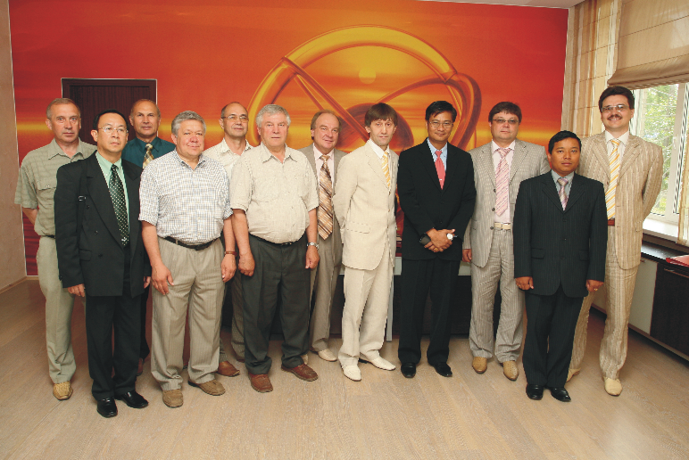
In 2009, the Novosibirsk Technical School of Geodesy and Cartography (NTGiK) became part of the Academy as a structural division.
The university has been developing rapidly; since 2010, a recruitment for bachelor's degree programs in the field of "Innovation" has been announced; in 2011, a new specialty "Mining" was opened, and in 2021, the specialty "Jurisprudence" in the field of land and property relations.
Throughout its history, the Academy has demonstrated rapid dynamics of internal and external development, in line with the indicators and status of the University.
On December 8, 2014, the Russian Ministry of Education and Science issued an order renaming the Federal State Budgetary Educational Institution of Higher Professional Education “Siberian State Geodetic Academy” into the Federal State Budgetary Educational Institution of Higher Education “Siberian State University of Geosystems and Technologies” (SSUGT).
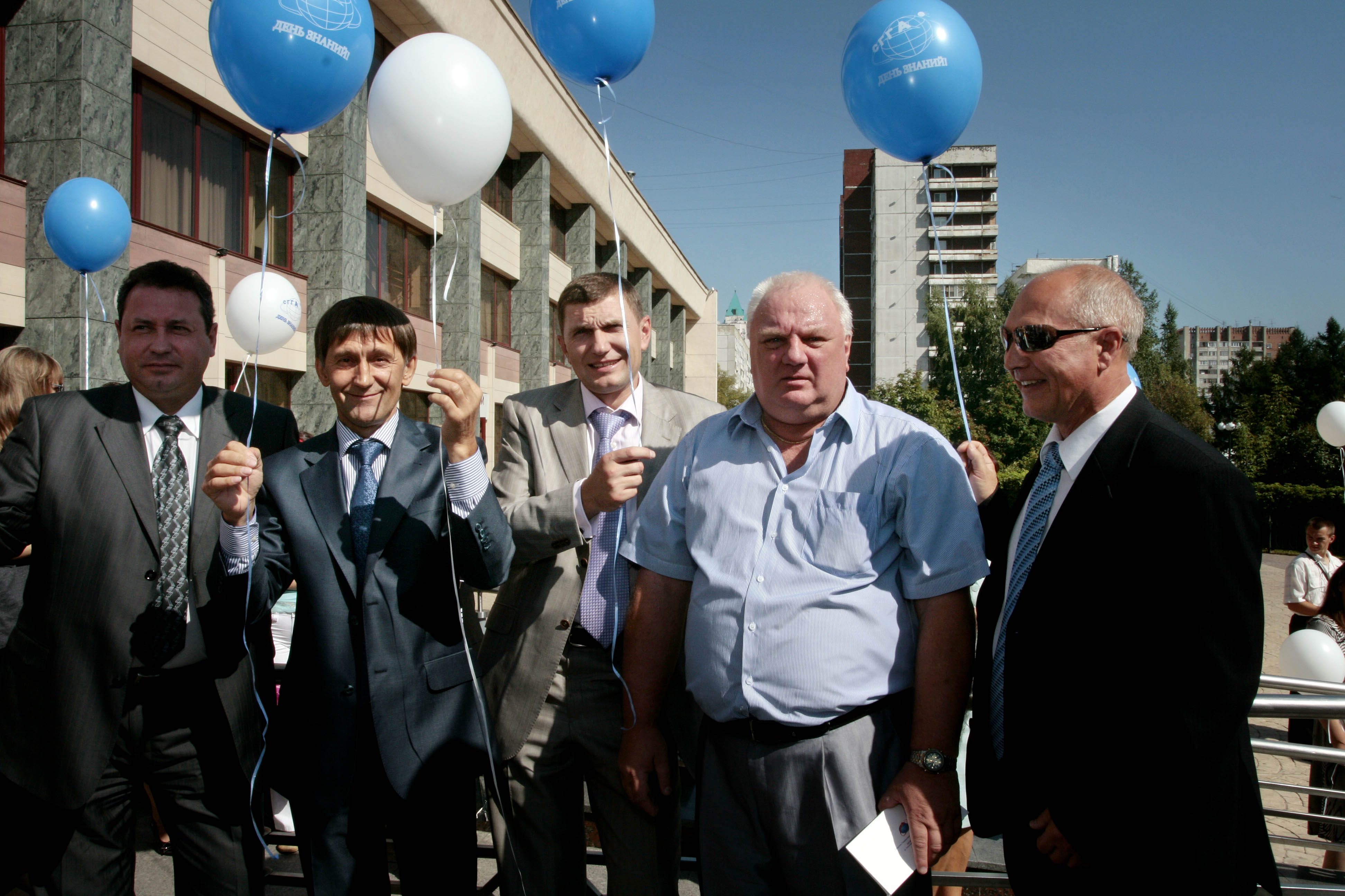
In 2023, SSUGT entered the TOP-3 of the local ranking of universities in the Siberian Federal District, confirming its stable position in three ranking indicators - science, education, society.
In 2023, SSUGT celebrated its 90th anniversary. The ceremonial events brought together thousands of graduates of different years, honorary guests and university partners.
In 2024, the XX International Exhibition and Scientific Congress "Interexpo GEO-Siberia" was held. Over the years, the forum has become a transnational platform for multilateral and interdisciplinary dialogue in the field of geoindustry, which helped the university take a leading position in interaction with the real sector of the economy and implement a number of projects that are of great importance for the formation of the state economy and the development of scientific research.
In July 2024, following the results of the open selection of providers for training participants in youth engineering teams conducted by the ANO "University of the National Technological Initiative 2035" within the framework of building flexible educational trajectories of the Federal Project "Personnel for Unmanned Aircraft Systems", SSUGT received the status of a Support Center.
